
On October 9, 1929, a German theologian named Gustav Adolf Deissmann was classifying things in Istanbul’s Topkapi Palace library when he came upon a strange parchment amid some discarded stuff. A map, now known as the Piri Reis map, was written on the parchment of gazelle skin.
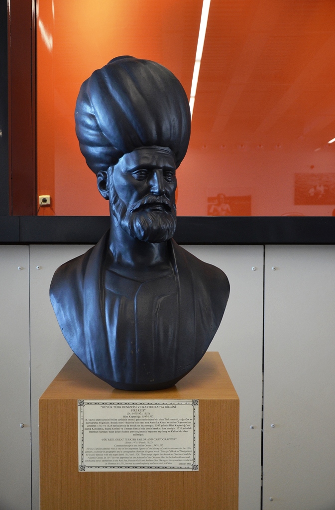
The map was made and signed in 1513 AD by Turkish geographer Hagji Ahmed Muhiddin Piri, called Piri Reis. Reis was an admiral in the Turkish navy, an accomplished sailor, and a cartographer who claimed to have constructed the map from 20 source maps and charts, including eight Ptolemaic maps, four Portuguese maps, an Arabic map, and a map by Christopher Columbus.
The Piri Reis map has sparked both fascination and debate since its discovery, owing to the existence of what appears to be a depiction of Antarctica 300 years before it was found. Another striking aspect of Antarctica’s look is that it appears to portray the land mass before it was encased in ice around 6000 years ago.
Professor Charles Hapgood ignited the major discussion in 1965 when he presented his theory on the Piri Reis map in his book Maps of the Ancient Sea Kings. He and a group of students from the University of New Hampshire examined the map and discovered several abnormalities, including the use of mercatorial projection and the presence of a pre-ice Antarctica.
The Greeks were able to create cylindrical maps based on their knowledge of a spherical earth, though Europeans did not use mercatorial projection until later in the 16th century, and they were also able to calculate latitude and longitude using astronomy and geometry, though absolute accuracy was not possible until the invention of the chronometer in 1760. While these two incredible feats could be explained by using Greek source maps and charts from Alexander’s time, nothing could explain the inclusion of Antarctica. As a consequence, Hapgood argued that the map was based on materials dating back before 4000 BC, when any sophisticated languages or advancing civilizations were recognised.
According to this idea, a prehistoric society possessed the technology to traverse major seaways and fairly accurately chart the planet. Hapgood further stated that the geographical portrayal of the continents’ interiors needed aerial skills, meaning that the prehistoric’super’ society had both marine and aerial masters, leading to more conjecture about an Atlantean or extraterrestrial culture. Such hypotheses have not been supported by evidence.
Sceptics of Hapgood’s idea point out that the map is a portrayal of the South American shoreline, with contemporary physical characteristics of the coast and interior included. Otherwise, critics argue, the image would imply that Antarctica and South America were once linked at Uruguay and that Argentina did not yet exist.
While this argument may be used to dismiss the presence of Antarctica on the Piri Reis map, other anomalous maps have been discovered that are identical to the ice-free continent that only twentieth-century satellite technology can identify.
Other Hapgood theories, such as his polar shift theory, which claimed that a sudden shift in the inclination of the Earth’s axis of rotation in 9,500 BC could have resulted in the displacement of Antarctica, sending it hundreds of miles south and changing its climate from semi-temperate to freezing. This change could not and did not occur, according to all evidence.
The real question is whether Antarctica can be identified on the Piri Reis map or any of the other aberrant maps. If that’s the case, might the Piri Reis map have been based on the papers of a yet-undiscovered archaic society, one with technology capable of travelling and correctly charting the globe? Whatever the exact origins of the data, one thing is certain: this map sparks debate about how we interpret our own history and which, if any, of those views are correct. Perhaps one day the truth will be revealed.


